Established in 1957, Brecon Beacons National Park, now renamed Bannau Brycheiniog National Park contains an east-west range of peaks and valleys in south Wales, and is the third such park in the country, along with Snowdonia and Pembrokeshire Coast. The preserve includes the most extensive areas of wild, undeveloped land in the UK south of Snowdonia, with some places over three miles from the nearest paved road - not so remarkable compared with, for example, the Lake District or the Scottish mountains, but still more remote than all other scenic landscapes in southern England and Wales. Most of the park is within Powys, while other parts are in seven other boroughs: Blaenau Gwent, Caerphilly, Carmarthenshire, Merthyr Tydfil, Monmouthshire, Rhondda Cynon Taf and Torfaen.
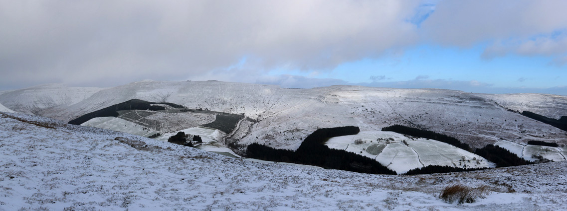
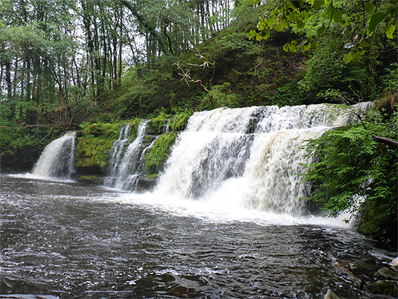
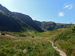
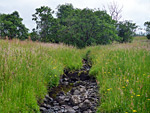
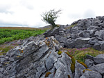
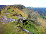
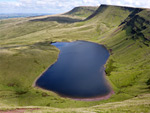
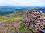
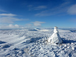
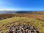
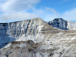
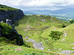
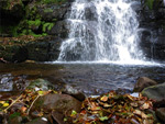
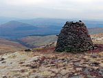
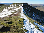
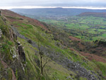
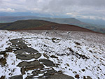
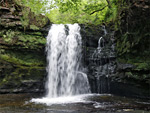
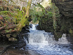
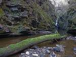
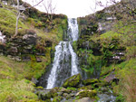
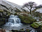
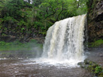
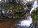
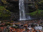
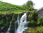
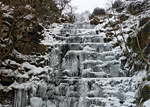
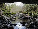
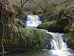
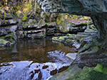
The high country is characterised by barren plateaus and ridges, topped by low-prominence peaks, the highest 2,907 foot (886 metre) Pen y Fan. Most of the land is covered only by grass, heather, bracken and occasional bushes, though some of the hillsides are used for conifer plantations. The underlying rocks are mostly sandstone and gritstone, plus some limestone and coal towards the south, but are rarely exposed; this region lacks the dramatic craggy summits that are found in other British mountain parks. Streams draining the peaks unite to form a number of powerful rivers which have cut short but often deep gorges, containing many waterfalls and cascades, and usually lined by dense woodland, while the upper reaches of some of the drainages have been dammed to form reservoirs. The national park also contains caves and shake holes, and a variety of historic sites including castles, quarries, stone circles, standing stones, burial mounds, Roman remains and old religious buildings.
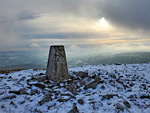
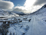
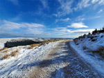
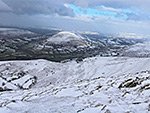
The relatively gentle topography, absence of cliffs and lack of forest cover make the peaks and valleys ideal for hiking; all areas are crossed by many trails, and cross-country walking is easy in most places. By far the most popular area is around Pen y Fan and its neighbouring peaks, seeing hundreds of visitors on summer weekends, and perhaps during icy periods in the winter, since snow settles here much more readily than on the surrounding lowlands.
Land within the park comprises four distinct hilly areas. The westernmost, least visited and most remote is Black Mountain, a plateau topped by lakes, ridges, scarps and peaks - about 12 by 10 miles in extent, ranging from Llandeilo in the west to the valley of the River Tawe in the east, which provides a course for the A4067. Between this route and the next major north-south road (the A470) is Fforest Fawr, a similar but slightly smaller and lower elevation region, while east of the A470 are the Brecon Beacons, the highest and most famous peaks, most of which have a horseshoe-like arrangement around the upper end of the valley of the Taf Fechan river. These three areas are essentially contiguous, while the fourth elevated region, the Black Mountains, is separated by the River Usk. The mountains comprise four narrow ridges and several lesser spurs, joined at the north end and separated to the south by narrow, winding valleys. One other region within the national park (and extending slightly outside) is Waterfall Country, south of Fforest Fawr; here the majority of the cascades and gorges are located.
Historic SitesBrecon Cathedral Gothic cathedral occupying the church of a former priory, with some sections from the 12th century Rating: ★★★★★ |
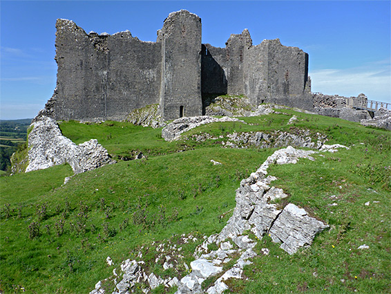
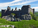
| Carreg Cennen Castle Substantial, imposing medieval castle on an isolated, cliff-lined limestone hill near the west edge of the national park Rating: ★★★★★ |
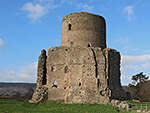
| Castell Dinas Ditches, mounds and the base of a gatetower, from an 11th century Norman castle Rating: ★★★★★ |
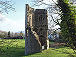
| Crickhowell Castle Fragmented but attractive remains of a minor Norman castle, beside the River Usk: a wooded motte and parts of three towers Rating: ★★★★★ |
| Hay Castle Relatively large but poor condition ruins of a Norman castle in the centre of Hay-on-Wye, soon to be restored Rating: ★★★★★ |
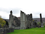
| Llanthony Priory Ruined Augustinian priory in a remote location within the Black Mountains; dark, aged masonry and soaring Gothic arches Rating: ★★★★★ |
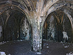
| Morlais Castle 13th century castle on an isolated limestone hill; mostly just earthworks and overgrown stones, plus a deep cistern and a vaulted basement Rating: ★★★★★ |
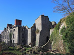
| Tretower Castle and Court Ruined castle beside a complete, unrestored, 14th century manor house; within Brecon Beacons National Park Rating: ★★★★★ |
Nature Reserves, and/or SSSIsCraig Cerrig Gleisiad a Fan Frynych Sheltered, north-facing cliffs above a peat bog within a glacial cirque; harbours rare plant species Rating: ★★★★★ |
| Cwm Cadlan Shallow valley near Penderyn, with a variety of watery habitats, sustaining a wide range of wildflowers Rating: ★★★★★ |
| Darren Fawr Limestone plateau edged by sheer cliffs and steep scree slopes, above the Taf Fawr valley Rating: ★★★★★ |
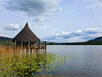
| Llangorse Lake The second largest natural lake in Wales, home to many birds and fish, and containing an ancient artificial island, the crannog Rating: ★★★★★ |
| Strawberry Cottage Wood Ancient oak woodland on a southwest-facing slope at the mouth of the Afon Honddu valley Rating: ★★★★★ |
PeaksBlack Hill and Olchon Valley Easternmost summit of the Black Mountains, tapering to a narrow, rock-lined ridge, overlooking a secluded valley. Just outside the park, in Herefordshire Rating: ★★★★★ |
| Black Mountain Fans Summits along a dramatic ridge above two isolated lakes, on the west side of the park Rating: ★★★★★ |
| Blorenge Flat-topped summit, high point of the hills south of Abergavenny, west of the River Usk. Reached by a 0.8 mile path Rating: ★★★★★ |
| Clydach and Waen Rydd Cross-country loop, from Aber near Talybont, up Clydach valley, over steepening slopes to Waen Rydd, returning via a path Rating: ★★★★★ |
| Fan Fawr and Beacons Reservoir Summit in the Fforest Fawr region, and a scenic reservoir lined by trees; explored by a 4 mile loop hike Rating: ★★★★★ |
| Gospel Pass The highest paved road in Wales, between two peaks at the head of a remote valley in the Black Mountains Rating: ★★★★★ |
| Grwyne Fechan and Pen y Gadair-Fawr Loop hike around the upper end of the Grwyne Fechan valley, also visiting the summit of Pen y Gadair-Fawr Rating: ★★★★★ |
| Llanfrynach to Fan y Big Ten mile loop walk to a high peak along two ridges, Cefn Cyff and Pen y Bryn Rating: ★★★★★ |
| Llangattock Escarpment Limestone cliffs below the rim of a grassy, boggy plateau with a wind-swept lake; site of several cave entrances, and 18th century quarries Rating: ★★★★★ |
| Mynydd du Forest and Pen y Gadair Fawr Conifer plantation in the Grwyne Fawr valley, crossed by various tracks, one linking with a path to an isolated summit |
| Nant Cynafon and Waen Rydd Wooded valley, stream with waterfalls, open slopes, a flat summit, viewpoints and an aircrash site Rating: ★★★★★ |
| Nant Tarthwyni and Waen Rydd Wooded valley containing a small stream with pools and cascades, leading to a flat-topped peak Rating: ★★★★★ |
| Pen y Fan and Fan y Big Horseshoe Walk Spectacular loop hike to four summits in the Brecon Beacons, including the two highest points (Corn Du and Pen y Fan) Rating: ★★★★★ |
| Skirrid Fawr Eastern outlier of the Black Mountains, circled by a 4 mile trail; overlooks a large area of south Wales Rating: ★★★★★ |
| Table Mountain, Pen Cerrig-calch and Pen Allt-mawr Summits in the Black Mountains, reached by a 9 mile loop hike Rating: ★★★★★ |
| Waun Fach, Grwyne Fawr and Nant Bwch Loop hike along ridges and valleys to several peaks on the north side of the Black Mountains Rating: ★★★★★ |
Waterfalls, Gorges and CavesAfon Hepste Pools, waterfalls, cascades and cliffs along a 1.2 mile section of the Afon Hepste, to an enclosed channel above the Sgwd yr Eira waterfall Rating: ★★★★★ |
| Afon Mellte Gorge The lower end of the Afon Mellte flows through a deep valley, partly cliff-lined, with big waterfalls and cascades; also the ruins of Glyn Neath Gunpowder Works Rating: ★★★★★ |
| Afon Nedd Fechan Major river flowing through a deep, wooded valley, over three large waterfalls and several lesser cascades; explored by the Elidir Trail Rating: ★★★★★ |
| Afon Pyrddin Cascades and two major waterfalls along a tributary of the Afon Nedd Fechan, flowing partly through a deep, wooded gorge Rating: ★★★★★ |
| Caerfanell Waterfalls Up to 20 waterfalls in wooded gorges along the upper section of the Caerfanell River, and its tributary Nant Bwrefwr Rating: ★★★★★ |
| Clydach Gorge Wooded valley containing a powerful river that forms several waterfalls and enclosed sections; also caves, old railway lines and industrial relics Rating: ★★★★★ |
| Cwm Llwch Valley on the north side of the Brecon Beacons, containing waterfalls and a secluded glacial lake Rating: ★★★★★ |
| Cwm Serre and Cribyn Steep-sided valley with many small waterfalls, and a high summit Rating: ★★★★★ |
| Four Waterfalls Walk Four varied falls along the Mellte and Hepste rivers near Ystradfellte in the Brecon Beacons, set in deep, wooded valleys, near Ystradfellte Rating: ★★★★★ |
| Nant Ddu Pathless valley south of Pen y Fan, containing several pretty waterfalls Rating: ★★★★★ |
| Nant Llech and Henrhyd Falls Short river flowing over the highest waterfall in south Wales, then through a deep valley containing several other cascades Rating: ★★★★★ |
| Nant Menasgin Wooded stream with waterfalls and pools, dividing into the upper valleys of Cwm Oergwm and Cwm Cwareli Rating: ★★★★★ |
| Nant Pyrgad and Pistyll Crawnon Waterfalls at the head of the Dyffryn Crawnon valley, southwest of Llangynidr, including the tributary of Nant Pyrgad Rating: ★★★★★ |
| Porth yr Ogof Spectacular cave containing an underground section of the Afon Mellte, with a wide passage at the entrance and a deep resurgence pool at the exit Rating: ★★★★★ |
| Sychryd Gorge Short gorge along the River Sychryd, containing several impressive waterfalls and some old mine relics Rating: ★★★★★ |
| Taf Fechan Gorge Pretty, tree-lined valley between Merthyr Tydfil and Pontsarn, containing a river that forms pools, cascades and some narrow, sheer-walled sections Rating: ★★★★★ |
