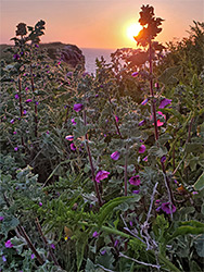
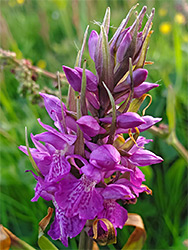
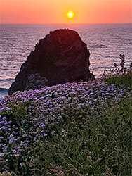
Scenic, cliff-lined promontory and island (reached by footbridge) just north of Newquay, with sandy beaches at either side. Many wildflowers in spring and summer
Location
Along the B3276 (Alexandria Road), Newquay; TR7 3NB
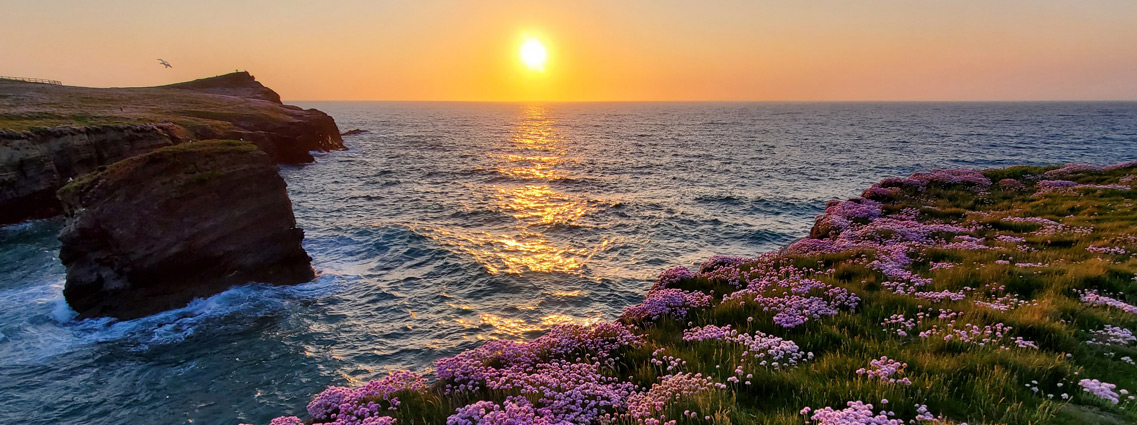
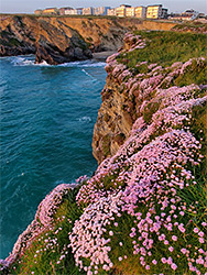
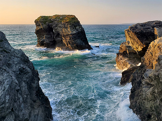
Trevelgue Head is a small, very scenic promontory, half mile long and 500 feet across, along the north Cornwall Coast, just northeast of Newquay, bordered by to the south by a narrow bay (Porth Beach, a natural harbour), and by the larger Whipsiderry Beach to the north.
This cliff-lined headland has a long history of use, at least as far back as the Iron Age - on the plateau, around 80 feet above the sea, are two round tumuli or barrows, and a series of embankments and ditches.
The promontory is split into two sections by a narrow channel, underwater except at low tide; the outer section is known as Porth Island. A modern bridge links the two sections, which back in the Iron Age were likely still to be connected by land.
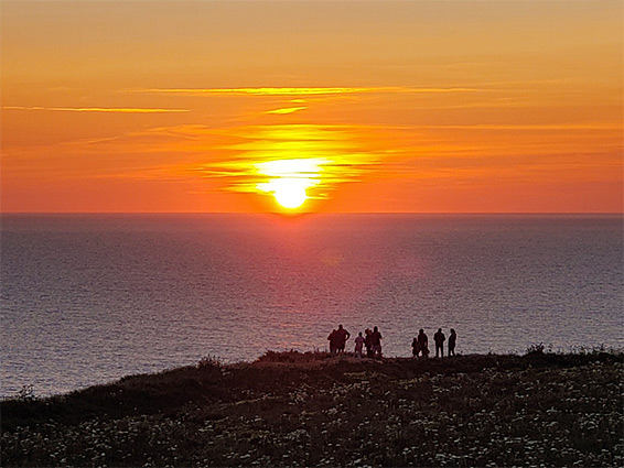
Paths loop around the edges of the headland allowing an easy circular walk of about one mile, starting along the main road north of Newport, the B3276.
Two paths enter the headland, from either edge. The inner (eastern) section slopes gently up, from the south to the north, and is crossed by an embankment and ditch, the eastern defences of the ancient settlement. Within the protected area are one barrow, at the north edge, and three shorter embankments just before the west edge, near the site of the modern footbridge across the gap. On the western section, Porth Island, are several more banks and earthworks, plus the second, larger barrow, which is thought perhaps to have been used as a meeting place. Most of the ancient remains are not particularly obvious, instead the peninsula is most appealing because of its dramatic setting, lined by cliffs and intertidal rocks, and covered by numerous wildflowers, with sea thrift especially abundant. Named features include Norwegian Rock, a sea stack just north of the channel between the two sections, Flory Island, a larger rock to the northeast, Dollar Rock, a lower outcrop visible only at low tide, Long Cove, a narrow inlet to the west, and Gravel Cove to the south.