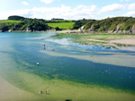
South Devon Area of Outstanding Natural Beauty protects the southernmost section of the Devon coastline - a 35 mile-long arc between Plymouth and Paignton, containing the edge of the South Hams district, often considered the most picturesque region of the county, characterised by wooded valleys, ancient fields, flowering hedgerows, narrow lanes and tiny villages. The area is 130 square miles, encompassing the coast itself and a strip of the adjacent farmland, generally around three miles across though extending further inland in two places, to include the deep valleys of the rivers Avon and Dart. Other significant waterways within the AONB are the rivers Yealm and Erme, and Kingsbridge Estuary.
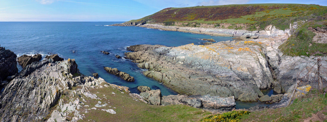
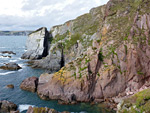
The AONB contains a few historic sites such as Cornworthy Priory and Dartmouth Castle, and while the farmland and valleys also have much appeal, the coastline is definitely the best feature. Some sections have sandy beaches, the most popular being at Bigbury-on-Sea, Thurlestone, Outer Hope, Slapton Sands, Blackpool and Brixham, but the majority is rocky, lined with a spectacular array of cliffs, sea stacks, inlets, fins, arches, caves and other eroded formations. Unlike north Devon the cliffs and bluffs are relatively low, usually 200 feet or less, and the coast path, of which 60 miles crosses the AONB, runs at or close to the edge, with numerous routes down to the water. Large sections of the clifftops are managed by the National Trust and much is remote and peacful, away from paved roads and hence not often explored.
The AONB contains a few historic sites such as Cornworthy Priory and Dartmouth Castle, and while the farmland and valleys also have much appeal, the coastline is definitely the best feature. Some sections have sandy beaches, the most popular being at Bigbury-on-Sea, Thurlestone, Outer Hope, Slapton Sands, Blackpool and Brixham, but the majority is rocky, lined with a spectacular array of cliffs, sea stacks, inlets, fins, arches, caves and other eroded formations. Unlike north Devon the cliffs and bluffs are relatively low, usually 200 feet or less, and the coast path, of which 60 miles crosses the AONB, runs at or close to the edge, with numerous routes down to the water. Large sections of the clifftops are managed by the National Trust and much is remote and peacful, away from paved roads and hence not often explored.
Historic SitesCornworthy Priory Ruined but mostly complete gatehouse from a minor 14th century nunnery, abandoned in 1536; in a field a few miles south of Totnes Rating: ★★★★★ |
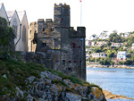
| Dartmouth Castle Small castle, built as an artillery fort at the end of the 14th century, with a spectacular location on a rocky outcrop at the entrance to Dartmouth Harbour Rating: ★★★★★ |
LandscapesBurgh Island Tidal, grass and wildflower-covered island opposite the wide sandy beach at Bigbury-on-Sea Rating: ★★★★★ |
| Noss Mayo to Stoke Down Narrow inlets, tiny beaches and grassy promontories, and much colourful, jagged, eroded rock Rating: ★★★★★ |
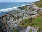
| Wonwell Beach to Ayrmer Cove Rugged section of the coastline, from the River Erme, eastwards, also including Fernycombe Point and Westcombe Beach Rating: ★★★★★ |
